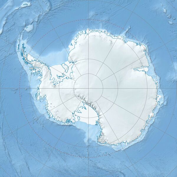
Size of this preview: 600 × 600 pixels. Other resolution: 1,493 × 1,493 pixels.
Original file (1,493 × 1,493 pixels, file size: 459 KB, MIME type: image/jpeg)
Summary
Summary
| Description |
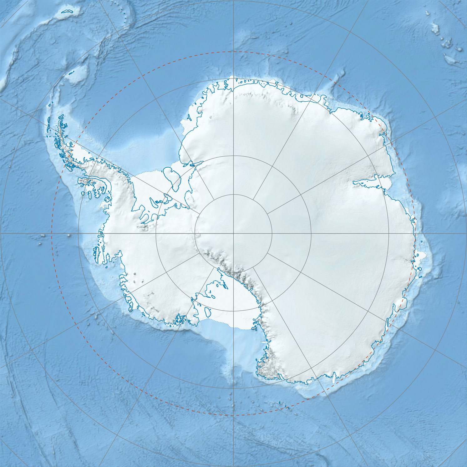
Template:De English: Physical Location map Antarctica, Azimuthal equidistant projection
|
|---|---|
| Source |
Own work
|
| Date |
2010-02 |
| Author | |
| Permission (Reusing this file) |
See below. |
| Other versions |
|

Derivative works
- Sentinel-Range-location-map.png
- Antarctica Ross Island relief location map.png
Licensing
I, the copyright holder of this work, hereby publish it under the following license:
|
File history
Click on a date/time to view the file as it appeared at that time.
| Date/Time | Thumbnail | Dimensions | User | Comment | |
|---|---|---|---|---|---|
| current | 22:38, 5 February 2024 | | 1,493 × 1,493 (459 KB) | Isidore (talk | contribs) | == {{int:filedesc}} == {{Information |Description= {{de|Physische Positionskarte Antarktis, Mittabstandstreue Azimutalprojektion}} {{en|Physical Location map Antarctica, Azimuthal equidistant projection}} * Longitude of central meridian: 0° * Latitude of projection origin: -90° * Tangent latitude at the map boundaries: -60°; geographic limits of the map: -135°,-47.57359° to 45°,-47.57359° |Source={{own}} * Data from http://nsidc.org/data/moa/ - Haran, T.,... |
You cannot overwrite this file.
File usage
The following 2 pages use this file: