
Original file (864 × 768 pixels, file size: 192 KB, MIME type: image/jpeg)
Summary
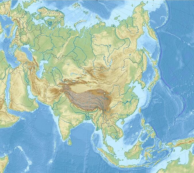
English: Relief Location map of Asia. Projection: Lambert azimuthal equal-area projection. Area of interest: N: 90.0° N S: -10.0° N W: 45.0° E E: 145.0° E Projection center: NS: 40.0° N WE: 95.0° E GMT projection: -JA95/50/20.0c GMT region: -R45.70461034279053/-25.193892806246794/-158.9850042825966/36.990936559512505r GMT region for grdcut: -R-20.0/-26.0/205.0/90.0r Relief: SRTM30plus. Made with Natural Earth. Free vector and raster map data @ naturalearthdata.com. Date 26 November 2010 Source Own work Author Uwe Dedering
I, the copyright holder of this work, hereby publish it under the following licenses: w:en:Creative Commons attribution share alike This file is licensed under the Creative Commons Attribution-Share Alike 3.0 Unported license. You are free: to share – to copy, distribute and transmit the work to remix – to adapt the work Under the following conditions: attribution – You must give appropriate credit, provide a link to the license, and indicate if changes were made. You may do so in any reasonable manner, but not in any way that suggests the licensor endorses you or your use. share alike – If you remix, transform, or build upon the material, you must distribute your contributions under the same or compatible license as the original.
Licensing
 | Permission is granted to copy, distribute and/or modify this document under the terms of the GNU Free Documentation License, Version 1.2 or any later version published by the Free Software Foundation; with no Invariant Sections, no Front-Cover Texts, and no Back-Cover Texts. |
| If this file is eligible for relicensing, it may also be used under the Creative Commons Attribution-ShareAlike 3.0 license. The relicensing status of this image has not yet been reviewed. You can help. |  |
File history
Click on a date/time to view the file as it appeared at that time.
| Date/Time | Thumbnail | Dimensions | User | Comment | |
|---|---|---|---|---|---|
| current | 11:07, 10 November 2023 | | 864 × 768 (192 KB) | Isidore (talk | contribs) | English: Relief Location map of Asia. Projection: Lambert azimuthal equal-area projection. Area of interest: N: 90.0° N S: -10.0° N W: 45.0° E E: 145.0° E Projection center: NS: 40.0° N WE: 95.0° E GMT projection: -JA95/50/20.0c GMT region: -R45.70461034279053/-25.193892806246794/-158.9850042825966/36.990936559512505r GMT region for grdcut: -R-20.0/-26.0/205.0/90.0r Relief: SRTM30plus. Made with Natural Earth. Free vector and raster map data @ naturalearthdata.com. Date 26 November 2010 Sourc... |
You cannot overwrite this file.
File usage
The following 2 pages use this file: