
Original file (1,024 × 512 pixels, file size: 422 KB, MIME type: image/png)
Summary
Summary
| Description |
Template:Ar Lua error in Module:Unicode_data at line 15: attempt to call field 'length' (a nil value). |
|---|---|
| Source |
NASA Visible Earth: Blue Marble: Land Surface, Shallow Water, and Shaded Topography |
| Date |
2002-02-11 |
| Author |
NASA’s Terra satellite for the MODIS imageries, combined by Meow. Credit: NASA Goddard Space Flight Center Image by Reto Stöckli (land surface, shallow water, clouds). Enhancements by Robert Simmon (ocean color, compositing, 3D globes, animation). Data and technical support: MODIS Land Group; MODIS Science Data Support Team; MODIS Atmosphere Group; MODIS Ocean Group Additional data: USGS EROS Data Center (topography); USGS Terrestrial Remote Sensing Flagstaff Field Center (Antarctica); Defense Meteorological Satellite Program (city lights). |
| Permission (Reusing this file) |
See below. |
| Other versions |
|
Template:Assessment
Licensing
File history
Click on a date/time to view the file as it appeared at that time.
| Date/Time | Thumbnail | Dimensions | User | Comment | |
|---|---|---|---|---|---|
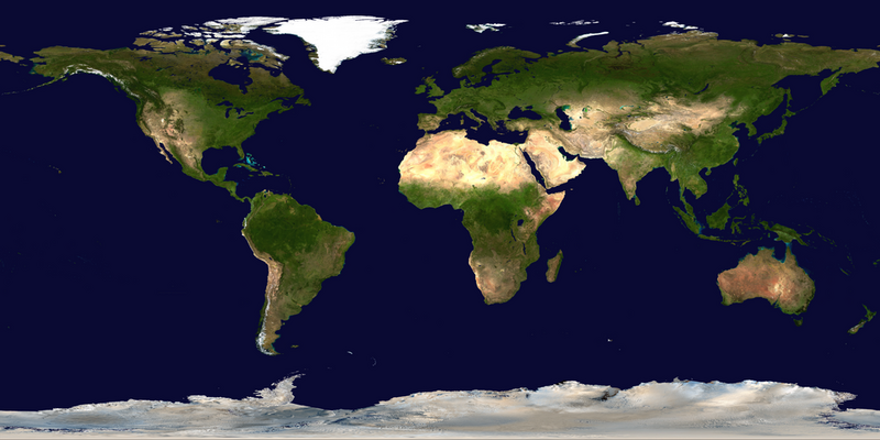
| current | 10:24, 30 January 2024 | | 1,024 × 512 (422 KB) | Isidore (talk | contribs) | {{phab|T343796}} =={{int:filedesc}}== {{LargeImage}} {{Information |description= {{ar|صور ساتليَّة مُجمَّعة لتُظهر سطح الأرض كاملًا.}} {{en|1=This spectacular “blue marble” image is the most detailed true-color image of the entire Earth to date. Using a collection of satellite-based observations, scientists and visualizers stitched together months of observations of the land surface, oceans, sea ice, and clouds into a seamless, true-color mosaic of every square kilometer (.386 square mile) of... |
You cannot overwrite this file.
File usage
The following page uses this file: