
Size of this PNG preview of this SVG file: 494 × 600 pixels. Other resolution: 1,686 × 2,048 pixels.
Original file (SVG file, nominally 816 × 991 pixels, file size: 458 KB)
Summary
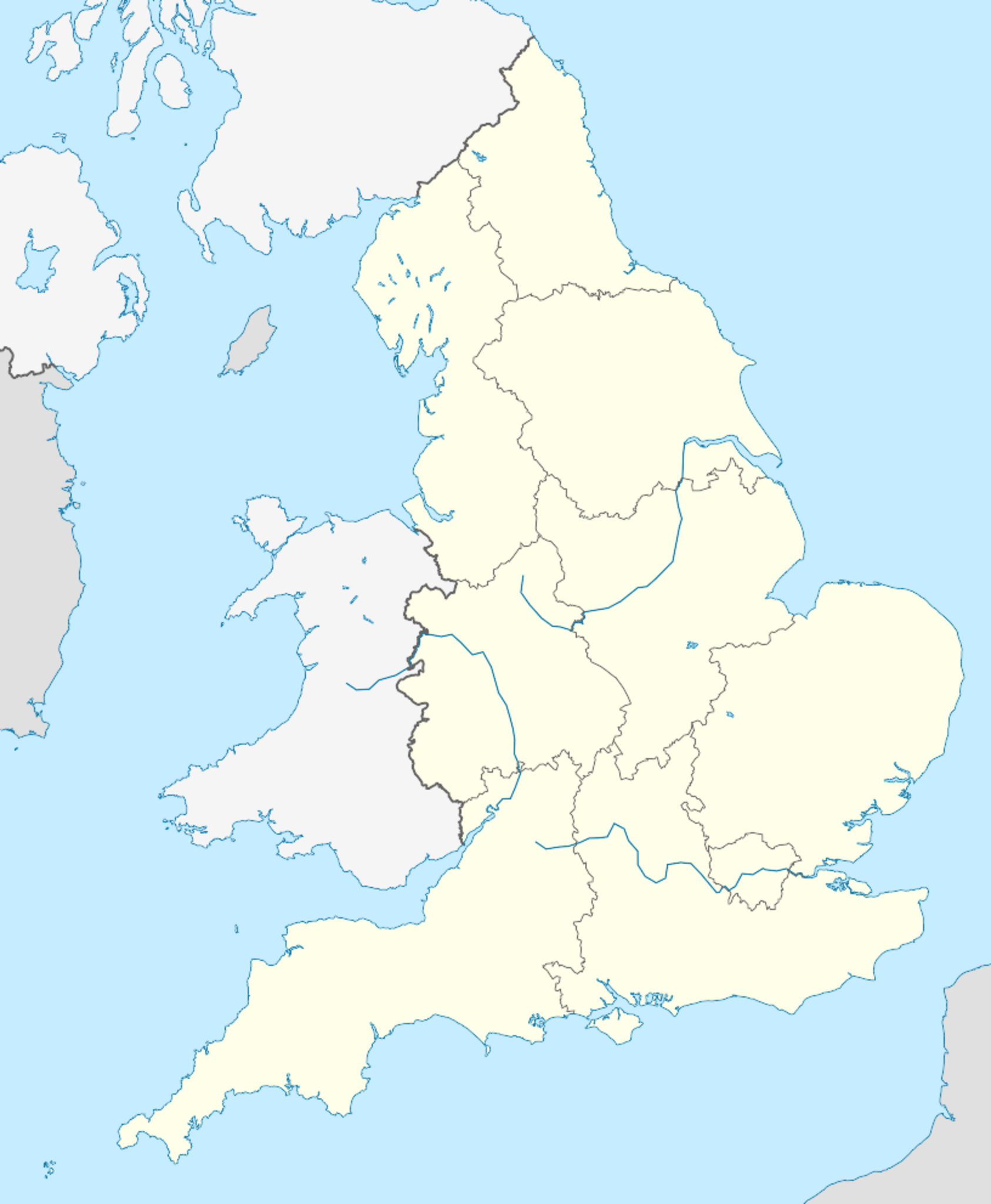
Location map of England
United Kingdom location map.svg: NordNordWest England Regions - Blank.svg: Ch1902 Northern Ireland location map.svg: NordNordWest Europe laea location map.svg: Alexrk2 Spischot - United Kingdom location map.svg England Regions - Blank.svg Northern Ireland location map.svg Europe laea location map.svg OpenStreetMap
CC BY-SA 3.0 File:England location map.svg Created: 13 March 2010
File history
Click on a date/time to view the file as it appeared at that time.
| Date/Time | Thumbnail | Dimensions | User | Comment | |
|---|---|---|---|---|---|
| current | 15:34, 27 October 2023 | | 816 × 991 (458 KB) | Isidore (talk | contribs) | Location map of England United Kingdom location map.svg: NordNordWest England Regions - Blank.svg: Ch1902 Northern Ireland location map.svg: NordNordWest Europe laea location map.svg: Alexrk2 Spischot - United Kingdom location map.svg England Regions - Blank.svg Northern Ireland location map.svg Europe laea location map.svg OpenStreetMap CC BY-SA 3.0 File:England location map.svg Created: 13 March 2010 |
You cannot overwrite this file.
File usage
The following 5 pages use this file: