Size of this preview: 800 × 534 pixels. Other resolution: 1,024 × 683 pixels.
Original file (1,024 × 683 pixels, file size: 173 KB, MIME type: image/jpeg)
Summary
Summary
| Description |
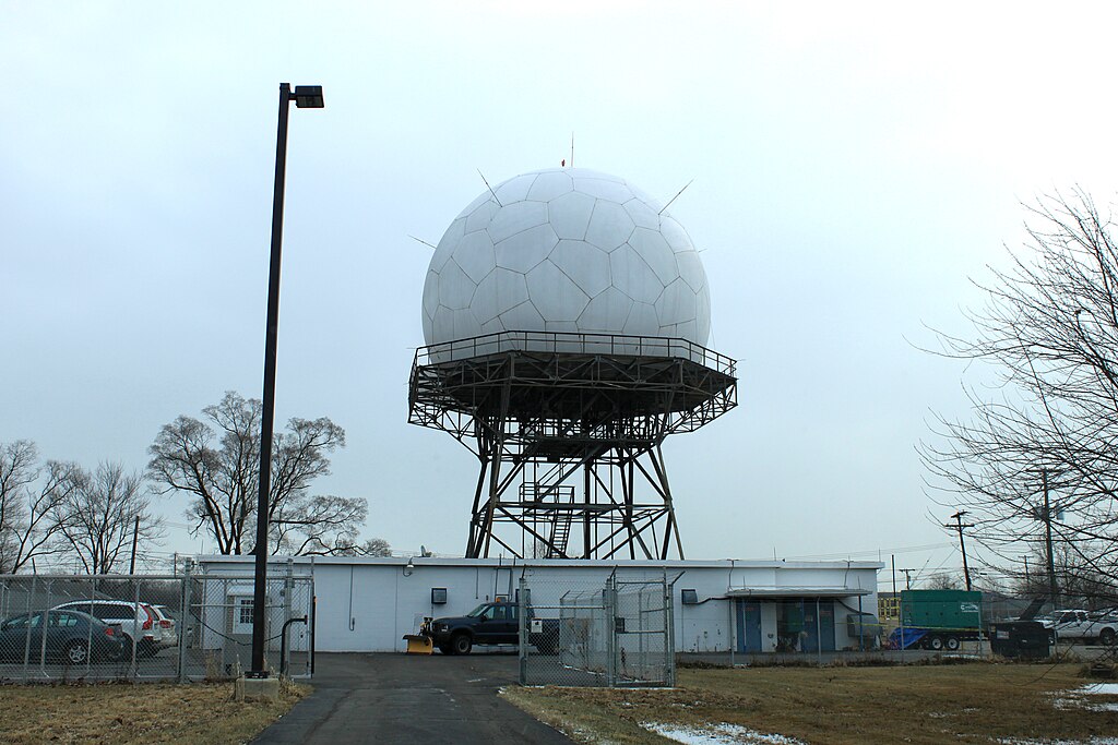
English: Federal Aviation Administration Joint Surveillance Site radar, near Geddes Road, Canton, Michigan | ||
|---|---|---|---|
| Source |
Own work | ||
| Date |
2010-12-08 | ||
| Author | |||
| Permission (Reusing this file) |
|
File history
Click on a date/time to view the file as it appeared at that time.
| Date/Time | Thumbnail | Dimensions | User | Comment | |
|---|---|---|---|---|---|
| current | 19:16, 15 January 2024 | | 1,024 × 683 (173 KB) | Isidore (talk | contribs) | == {{int:filedesc}} == {{Information |Description={{en|1={{w|Federal Aviation Administration}} Joint Surveillance Site radar, near Geddes Road, Canton, Michigan}} |Source={{own}} |Author=Dwight Burdette |Date=2010-12-08 |Permission={{cc-by-3.0}} |other_versions= }} |
You cannot overwrite this file.
File usage
The following page uses this file: