Size of this preview: 800 × 370 pixels. Other resolution: 1,357 × 628 pixels.
Original file (1,357 × 628 pixels, file size: 43 KB, MIME type: image/png)
Summary
Summary
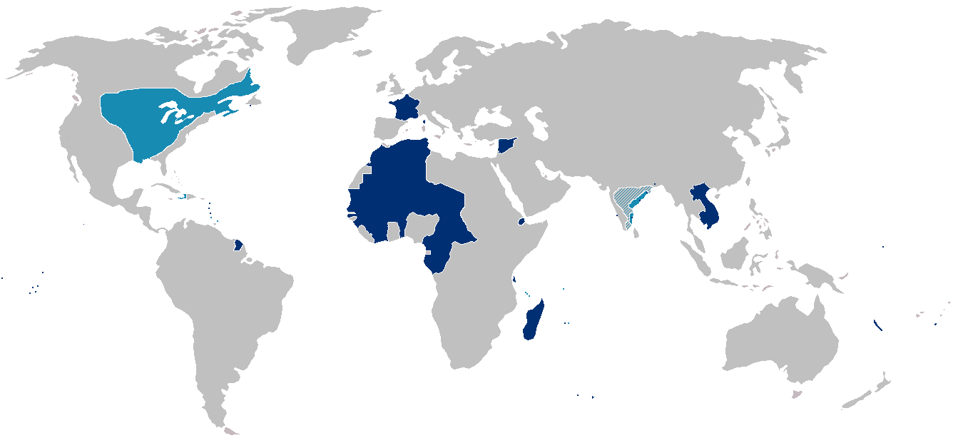
From en:Image:France colonial Empire10.png List of internet sources (to complete) :
- http://www.tu-dresden.de/sulcifra/quebec/geschqu/paris.htm
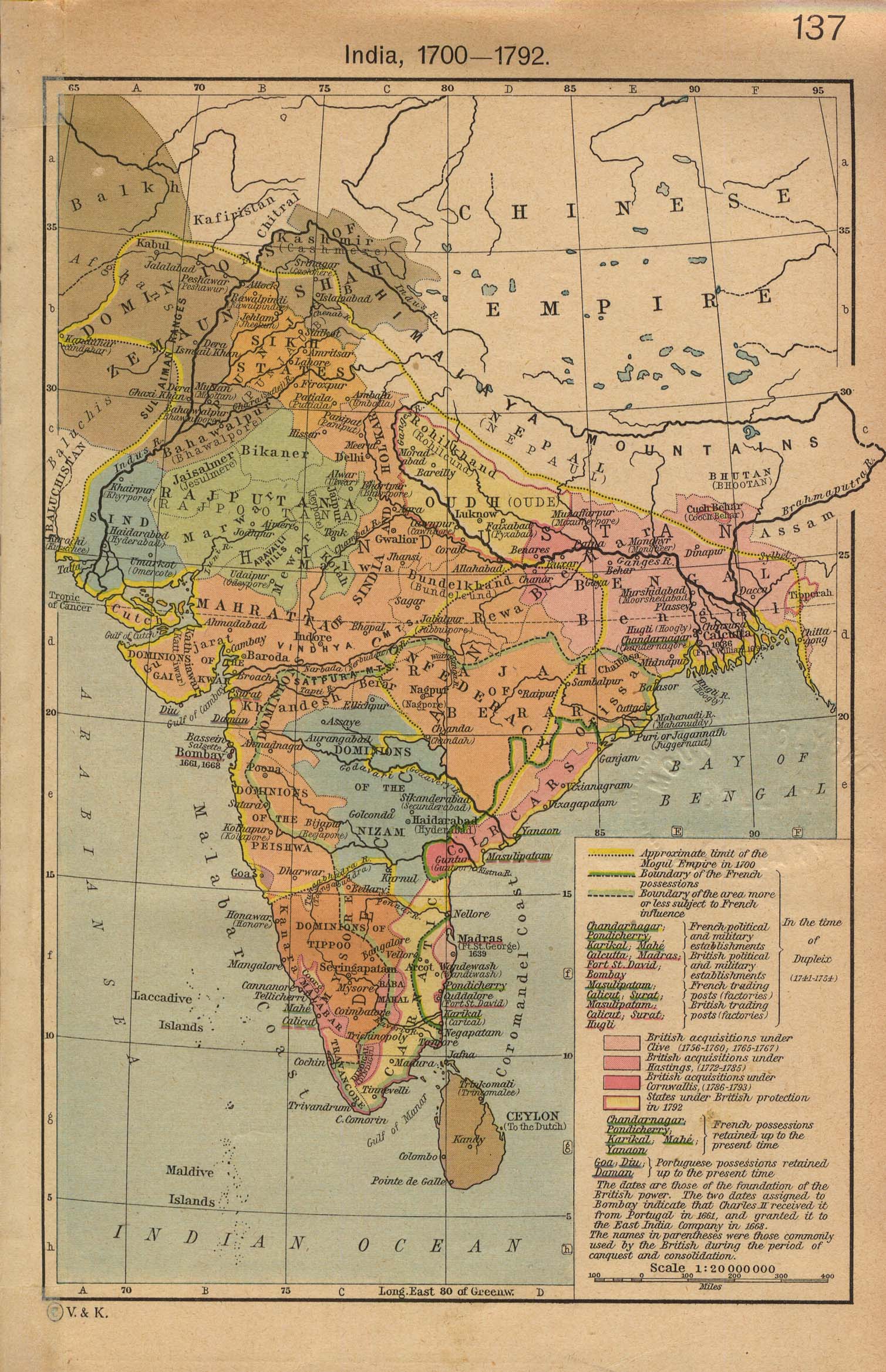
- http://homepages.rootsweb.com/~poyntz/India/images/india_shepherd_1923.jpg
Map of the first (light blue) and second (dark blue) French colonial empires. Hatched portions mark spheres of French influence rather than possessions.
Note that the state of France's actual control over much of interior North America west and south of Great Lakes was almost purely nominal.
Licensing
Other versions
File history
Click on a date/time to view the file as it appeared at that time.
| Date/Time | Thumbnail | Dimensions | User | Comment | |
|---|---|---|---|---|---|
| current | 15:22, 7 February 2024 | | 1,357 × 628 (43 KB) | Isidore (talk | contribs) | == {{int:filedesc}} == From en:Image:France colonial Empire10.png List of internet sources (to complete) : * http://www.tu-dresden.de/sulcifra/quebec/geschqu/paris.htm * http://homepages.rootsweb.com/~poyntz/India/images/india_shepherd_1923.jpg Map of the first (light blue) and second (dark blue) French colonial empires. Hatched portions mark spheres of French influence rather than possessions. Note that the state of France's actual control over much of interior North America west and... |
You cannot overwrite this file.
File usage
The following page uses this file: