Size of this preview: 800 × 534 pixels. Other resolution: 1,024 × 683 pixels.
Original file (1,024 × 683 pixels, file size: 230 KB, MIME type: image/jpeg)
Summary
| Description |
Lua error in Module:Unicode_data at line 15: attempt to call field 'length' (a nil value). |
|---|---|
| Source |
U.S. Army Corps of Engineers Digital Visual Library |
| Date |
2007-07-10 |
| Author |
Lane Lefort, U.S. Army Corps of Engineers |
| Permission (Reusing this file) |
Template:PD-USGov-Military-Army-USACE
|
- REDIRECT Target page name
File history
Click on a date/time to view the file as it appeared at that time.
| Date/Time | Thumbnail | Dimensions | User | Comment | |
|---|---|---|---|---|---|
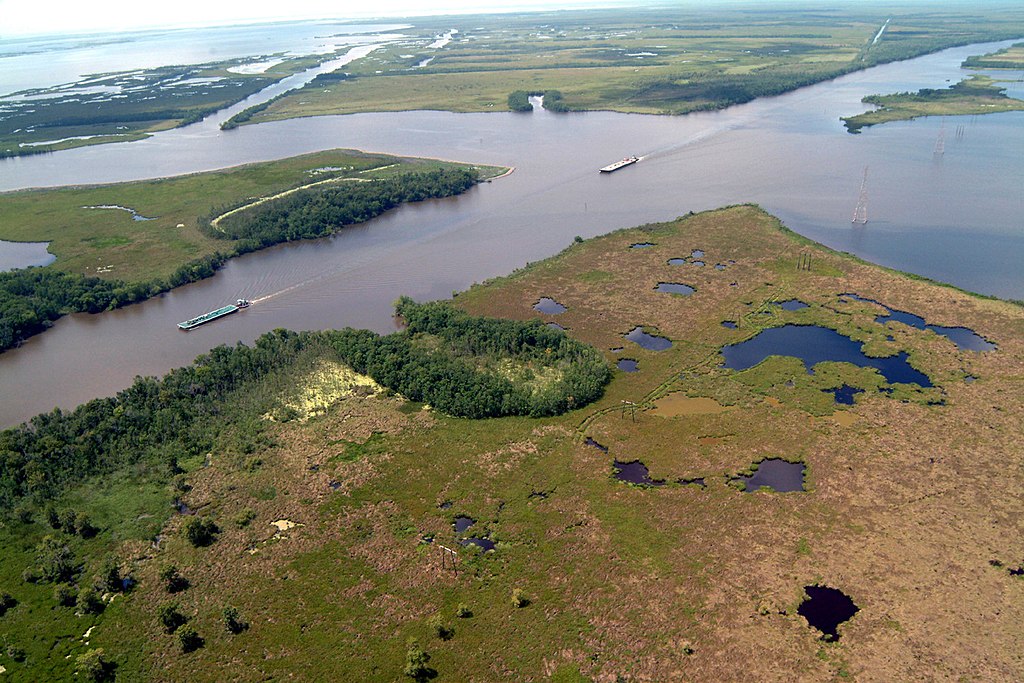
| current | 10:13, 26 March 2024 | | 1,024 × 683 (230 KB) | Isidore (talk | contribs) | {{Information | Description = {{en|Navigation on the Gulf Intracoastal Waterway (GIWW), where it intersects with Bayou Perot in Louisiana, USA. The view in this picture is to the south. The GIWW runs left–right across the picture. The bayou comes in from the left and enters Lake Salvador on the right. The bayou is the boundary between Jefferson Parish in the foreground and Lafourche Parish in the distance beyond the bayou.}} | Source = U.S. Army Corps of Engineers Digital Visual Li... |
You cannot overwrite this file.
File usage
The following page uses this file: