
Original file (SVG file, nominally 413 × 373 pixels, file size: 980 KB)
Summary
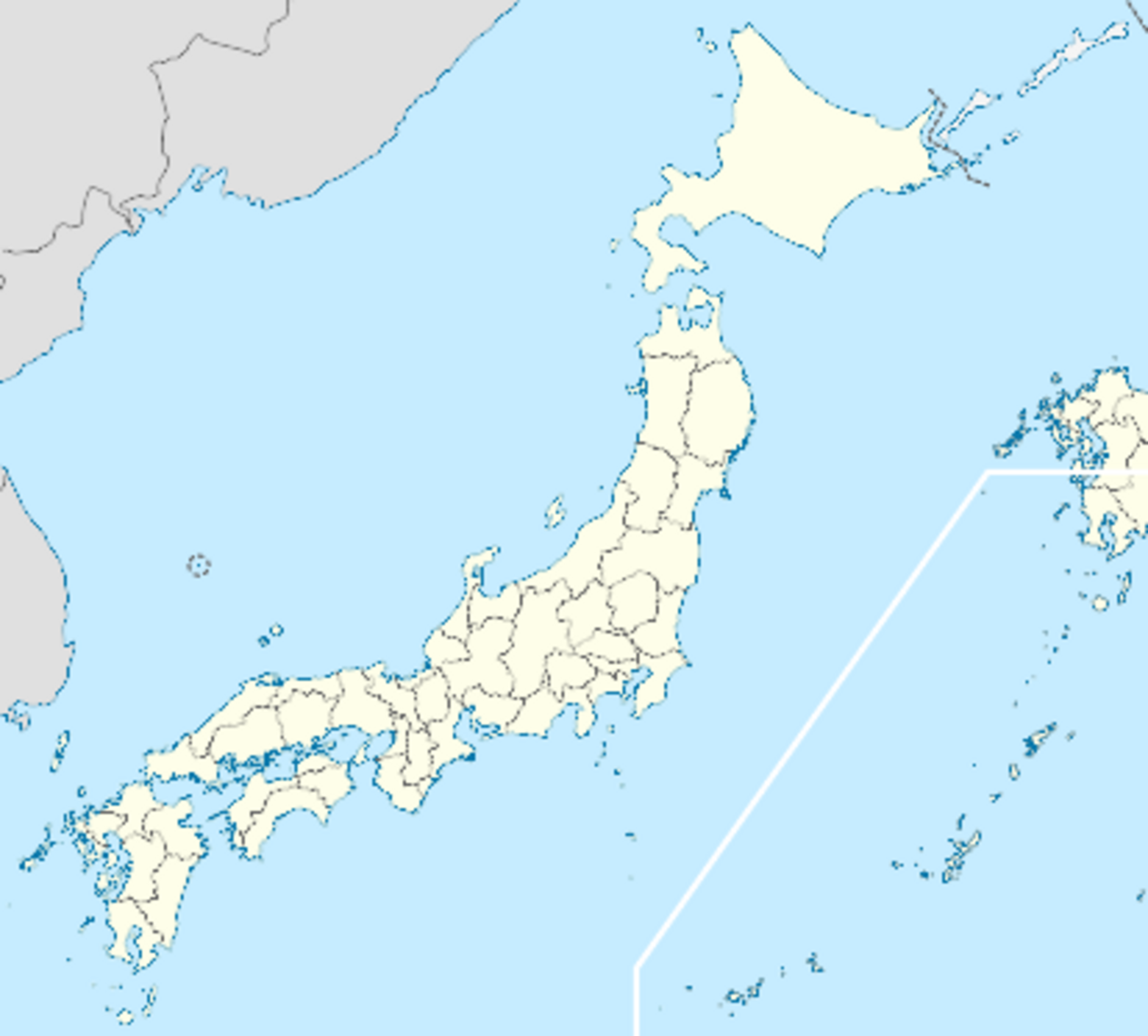
Location map of Japan Equirectangular projection. Geographic limits to locate objects in the main map with the main islands: N: 45°51'37" N (45.86°N) S: 30°01'13" N (30.02°N) W: 128°14'24" E (128.24°E) E: 149°16'13" E (149.27°E) Geographic limits to locate objects in the side map with the Ryukyu Islands: N: 39°32'25" N (39.54°N) S: 23°42'36" N (23.71°N) W: 110°25'49" E (110.43°E) E: 131°26'25" E (131.44°E) Maximilian Dörrbecker (Chumwa) - Own work Permission details You may select the license of your choice.View more CC BY-SA 3.0view terms File:Japan location map with side map of the Ryukyu Islands.svg Created: 1 March 2010
Licensing
 | Permission is granted to copy, distribute and/or modify this document under the terms of the GNU Free Documentation License, Version 1.2 or any later version published by the Free Software Foundation; with no Invariant Sections, no Front-Cover Texts, and no Back-Cover Texts. |
| If this file is eligible for relicensing, it may also be used under the Creative Commons Attribution-ShareAlike 3.0 license. The relicensing status of this image has not yet been reviewed. You can help. |  |
File history
Click on a date/time to view the file as it appeared at that time.
| Date/Time | Thumbnail | Dimensions | User | Comment | |
|---|---|---|---|---|---|
| current | 15:38, 27 October 2023 | | 413 × 373 (980 KB) | Isidore (talk | contribs) | Location map of Japan Equirectangular projection. Geographic limits to locate objects in the main map with the main islands: N: 45°51'37" N (45.86°N) S: 30°01'13" N (30.02°N) W: 128°14'24" E (128.24°E) E: 149°16'13" E (149.27°E) Geographic limits to locate objects in the side map with the Ryukyu Islands: N: 39°32'25" N (39.54°N) S: 23°42'36" N (23.71°N) W: 110°25'49" E (110.43°E) E: 131°26'25" E (131.44°E) Maximilian Dörrbecker (Chumwa) - Own work Permission details You may select the license... |
You cannot overwrite this file.
File usage
The following 3 pages use this file: