No higher resolution available.
NOAA_chart_25664_1976.png (613 × 480 pixels, file size: 535 KB, MIME type: image/png)
Summary
Summary
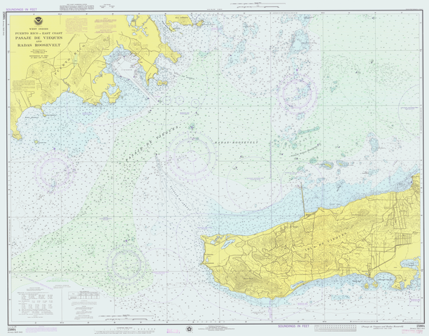
Lower-resolution version of United States National Oceanic and Atmospheric Administration (NOAA) chart 25664 - Pasaje de Vieques and Radas Roosevelt, Puerto Rico.
This is from an outdated 1976 version of this chart; scanned by NOAA and provided through NOAA's Office of Coast Survey Historical Map and Chart Collection Archived (Date missing) at chartmaker.ncd.noaa.gov (Error: unknown archive URL). Converted from the original MrSID format by the uploader.
Licensing
File history
Click on a date/time to view the file as it appeared at that time.
| Date/Time | Thumbnail | Dimensions | User | Comment | |
|---|---|---|---|---|---|
| current | 15:22, 29 January 2024 | | 613 × 480 (535 KB) | Isidore (talk | contribs) | == {{int:filedesc}} == Lower-resolution version of United States National Oceanic and Atmospheric Administration (NOAA) chart 25664 - Pasaje de Vieques and Radas Roosevelt, Puerto Rico. This is from an outdated 1976 version of this chart; scanned by NOAA and provided through NOAA's Office of Coast Survey [http://chartmaker.ncd.noaa.gov/csdl/ctp/abstract.htm Historical Map and Chart Collection] {{Wayback|url=http://chartmaker.ncd.noaa.gov/csdl/ctp/abstract.htm |date=20060113043439 }}. Conver... |
You cannot overwrite this file.
File usage
The following page uses this file: