
Size of this preview: 660 × 600 pixels. Other resolution: 845 × 768 pixels.
Original file (845 × 768 pixels, file size: 167 KB, MIME type: image/jpeg)
Summary
Summary
| Description |
Lua error in Module:Unicode_data at line 15: attempt to call field 'length' (a nil value). |
|---|---|
| Source |
Own work |
| Date |
2010-12-04 |
| Author | |
| Permission (Reusing this file) |
See below.
|
Licensing
I, the copyright holder of this work, hereby publish it under the following licenses:
You may select the license of your choice.
|


File history
Click on a date/time to view the file as it appeared at that time.
| Date/Time | Thumbnail | Dimensions | User | Comment | |
|---|---|---|---|---|---|
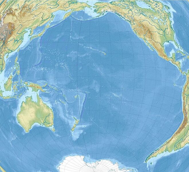
| current | 14:33, 17 November 2023 | | 845 × 768 (167 KB) | Isidore (talk | contribs) | == {{int:filedesc}} == {{Information |Description={{en|1= Relief location map of Pacific_Ocean. * Projection: Lambert azimuthal equal-area projection. * Area of interest: :* N: 60.0° N :* S: −80.0° N :* W: −260.0° E :* E: −70.0° E * Projection center: :* NS: −10.0° N :* WE: −165.0° E * GMT projection: -JA-165.0/-10.0/180/19.998266666666666c * GMT region: -R-320.2519138145009/-12.459450078533589/-5.473602099069988/26.40516525873812r * GMT region for grdcut: -R-325.0/-90.0/-5.0/74.0r * Relief:... |
You cannot overwrite this file.
File usage
The following 2 pages use this file: