Size of this preview: 599 × 600 pixels. Other resolution: 748 × 749 pixels.
Original file (748 × 749 pixels, file size: 163 KB, MIME type: image/jpeg)
Summary
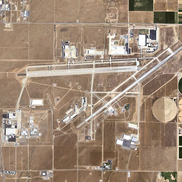
English: USGS digital orthophoto of Palmdale Regional Airport in the Antelope Valley, of the western Mojave Desert, Southern California. Date 2006 Source USGS via TopoQuest
http://www.topoquest.com/map.php?lat=34.62561&lon=-118.08954&datum=nad83&zoom=8&map=sat1m&coord=d&mode=zoomout&size=l Author United States Geological Survey (USGS) Permission (Reusing this file) Public domain
Licensing
| This file is in the public domain, because (no reason given!)
Please verify that the reason given above is valid! Note: if there is a specific licence tag for the reason supplied here, please use it. |
File history
Click on a date/time to view the file as it appeared at that time.
| Date/Time | Thumbnail | Dimensions | User | Comment | |
|---|---|---|---|---|---|
| current | 15:01, 10 November 2023 | | 748 × 749 (163 KB) | Isidore (talk | contribs) | English: USGS digital orthophoto of Palmdale Regional Airport in the Antelope Valley, of the western Mojave Desert, Southern California. Date 2006 Source USGS via TopoQuest http://www.topoquest.com/map.php?lat=34.62561&lon=-118.08954&datum=nad83&zoom=8&map=sat1m&coord=d&mode=zoomout&size=l Author United States Geological Survey (USGS) Permission (Reusing this file) Public domain |
You cannot overwrite this file.
File usage
The following page uses this file: