No higher resolution available.
Relief_map_of_Texas.png (485 × 480 pixels, file size: 380 KB, MIME type: image/png)
Summary
Summary
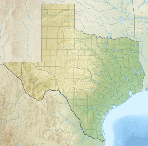
{{Information |description=Template:RuEnglish: Relief map of Texas (USA). |date=2012-10-14 17:39:14 |source=
- ETOPO1 for relief and bathymetry using GMT package
- File:USA Texas location map.svg for borders, rivers, lakes, coastline
- Own work
| This vector image was created with Inkscape. |
|author=Nzeemin |permission= |other_versions=<gallery>File:USA Texas location
File history
Click on a date/time to view the file as it appeared at that time.
| Date/Time | Thumbnail | Dimensions | User | Comment | |
|---|---|---|---|---|---|
| current | 01:18, 3 February 2024 | | 485 × 480 (380 KB) | Isidore (talk | contribs) | =={{int:filedesc}}== {{Information |description={{ru|1=Физическая карта штата Техас (США).}}{{en|1=Relief map of Texas (USA).}} |date=2012-10-14 17:39:14 |source= * ETOPO1 for relief and bathymetry using GMT package * File:USA Texas location map.svg for borders, rivers, lakes, coastline * {{own}} {{Created with GMT}} {{Inkscape}} |author=Nzeemin |permission= |other_versions=<gallery>File:USA Texas location |
You cannot overwrite this file.
File usage
The following 2 pages use this file: