
Size of this PNG preview of this SVG file: 487 × 599 pixels. Other resolution: 1,664 × 2,048 pixels.
Original file (SVG file, nominally 893 × 1,099 pixels, file size: 142 KB)
Summary
Summary
| Description |
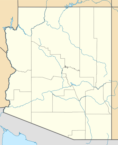
Template:De Quadratische Plattkarte, N-S-Streckung 125 %. Geographische Begrenzung der Karte:
English: Location map of Arizona, USA Equirectangular projection, N/S stretching 125 %. Geographic limits of the map:
|
|---|---|
| Source |
own work, using
|
| Date |
2009-06-22 |
| Author | |
| Permission (Reusing this file) |
See below. |
| Other versions | Template:DerivativeVersions |
Licensing
I, the copyright holder of this work, hereby publish it under the following license:
|
File history
Click on a date/time to view the file as it appeared at that time.
| Date/Time | Thumbnail | Dimensions | User | Comment | |
|---|---|---|---|---|---|
| current | 18:42, 9 February 2024 | | 893 × 1,099 (142 KB) | Isidore (talk | contribs) | {{validSVG}} == {{int:filedesc}} == {{Information |Description= {{de|Positionskarte von Arizona, USA}} Quadratische Plattkarte, N-S-Streckung 125 %. Geographische Begrenzung der Karte: * N: 37.3° N * S: 31.1° N * W: 115.0° W * O: 108.7° W {{en|Location map of Arizona, USA}} Equirectangular projection, N/S stretching 125 %. Geographic limits of the map: * N: 37.3° N * S: 31.1° N * W: 115.0° W * E: 108.7° W |Source=own work, using *United... |
You cannot overwrite this file.
File usage
The following 4 pages use this file: